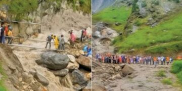


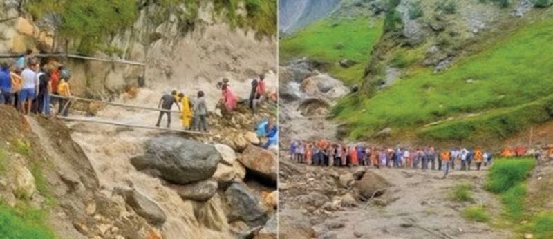
Srinagar: Around 65% of Jammu and Kashmir’s landslide-prone areas are classified as low risk, 23% fall under moderate risk, and 12% are identified as high-risk zones, according to the latest landslide susceptibility mapping by the Geological Survey of India.
The Government of India, according to the news agency—Kashmir News Observer (KNO), has made significant progress in mapping landslide-prone areas across the country, including Jammu & Kashmir (J&K), as part of its efforts to manage natural disasters more effectively.
The Geological Survey of India (GSI), the nodal agency for landslide studies, has completed comprehensive landslide susceptibility mapping for the entire landslide-prone hilly and mountainous regions, including Jammu & Kashmir.
According to the Ministry of Earth Sciences, the landslide susceptibility maps classify areas into low, moderate, and high-risk zones based on the likelihood of landslide initiation. In Jammu & Kashmir, about 65% of the landslide-prone area falls under the low-risk category, 23% under moderate risk, and 12% under high-risk zones.
This detailed mapping, created on a 1:50,000 scale, covers about 4.3 lakh square kilometers across 19 states and union territories.
The GSI continuously updates its landslide database, which includes over 33,900 field-validated landslides, supported by remote sensing and field data.
The maps and inventory are publicly accessible through the National Geoscience Data Repository and Bhukosh portals, helping authorities and stakeholders in disaster preparedness and land-use planning.
For more detailed local assessments, the GSI is also working on meso-scale mapping at scales of 1:10,000 and 1:5,000. In Jammu & Kashmir, this will enable more precise risk evaluations and guide safer infrastructure development. By 2028, 200 critical sectors across the country, including those in J&K, are targeted for completion of this high-resolution mapping.
The government is actively enhancing landslide forecasting capabilities to respond to the increasing frequency of natural calamities. The Regional Landslide Forecasting System (RLFS), developed by GSI in collaboration with the Indian Meteorological Department and other agencies, provides early warnings based on rainfall and weather models.
This system supports disaster management authorities to take timely preventive actions in vulnerable regions.
Jammu & Kashmir, with its mountainous terrain and susceptibility to natural hazards, benefits from such forecasting efforts. While specific operational forecasts for J&K districts are currently under development, the government is committed to expanding these services across all high-risk zones.
In addition to mapping and forecasting, the Government of India provides special assistance to states with high-risk landslide areas through financial aid and capacity-building programs.
The National Landslide Risk Mitigation Programme and the Aapda Mitra scheme, implemented by the National Disaster Management Authority (NDMA), offer funding and train community volunteers in disaster response, ensuring local preparedness and resilience—(KNO)